Free access
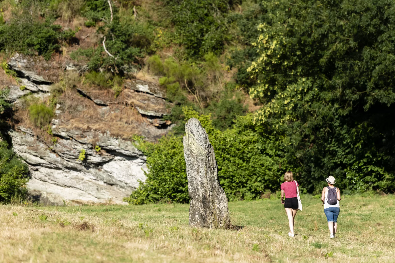
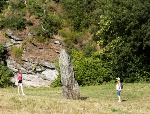
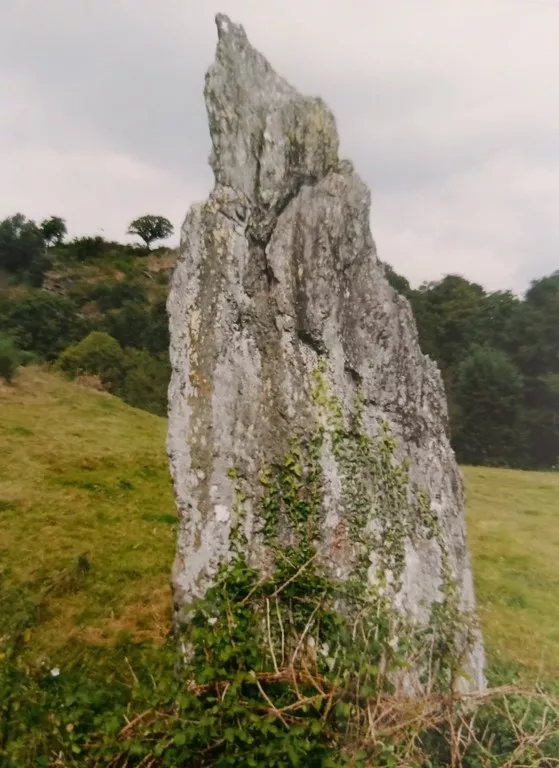
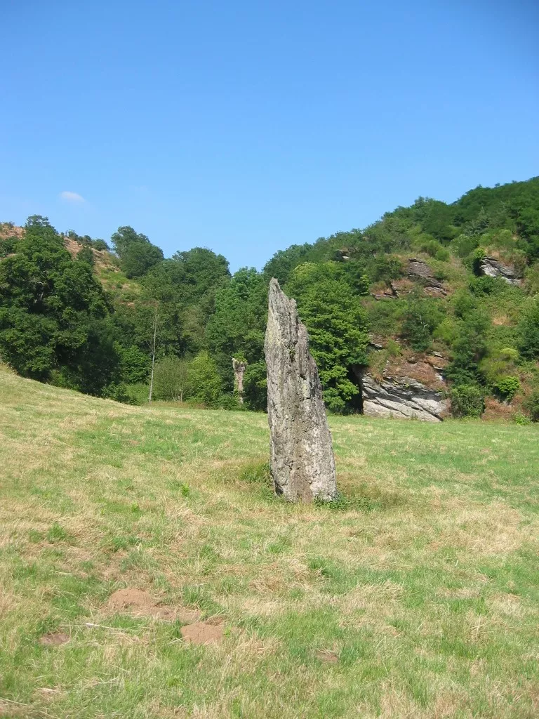
Le Menhir de Bréau - La Pierre qui Tourne
Activity
Le Fief-Sauvin
Description
In the Neolithic period, our ancestors began to settle down, and in the remarkable meander of Bréau, they erected a large block of schist 3.50 m high. It is known as "The Turning Stone".
Infos
Download
Access
Address
Moulin Neuf du Vigneau
Le Fief-Sauvin
49600 Montrevault-sur-evre
FRANCE
updated : 29 août 2025By : Pôle Tourisme ôsezMaugesSuggest changes.
You will also like...
1.5 km away from Le Menhir de Bréau - La Pierre qui Tourne
Distance 32km
20 km away from Le Menhir de Bréau - La Pierre qui Tourne
16,50€ / Overnight basis
59.5 km away from Le Menhir de Bréau - La Pierre qui Tourne
7,50€ / Overnight basis

22 km away from Le Menhir de Bréau - La Pierre qui Tourne
16€ / Overnight basis
73.5 km away from Le Menhir de Bréau - La Pierre qui Tourne
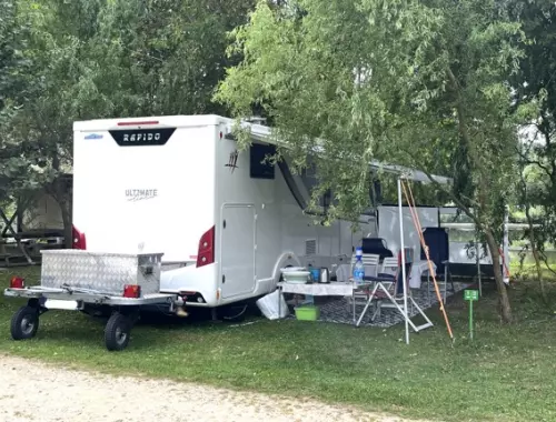
Aire de services et de stationnement camping-cars à Morannes (Camping Moredena)
Morannes, MORANNES SUR SARTHE-DAUMERAY
WiFi
20 km away from Le Menhir de Bréau - La Pierre qui Tourne
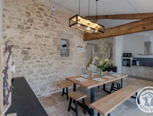
Group gîte for 14 people between Vendée and Nantes
14 pers. 7 rooms
Gîtes de la Tiboire
Torfou, SEVREMOINE
WiFi
